Create simple custom maps
We don’t always need large applications and complex mapping software to meet a need, which sometimes, even if the result seems simple, we have spent a few hours of work.
There are many digital mapping tools that reveal the urban complexities of cities with hundreds of data, but we don’t always need a custom map with so much “visual noise” nor use a complex program.
We present several easy-to-use and free online options…
1.- Minimalist maps for architecture with City Roads
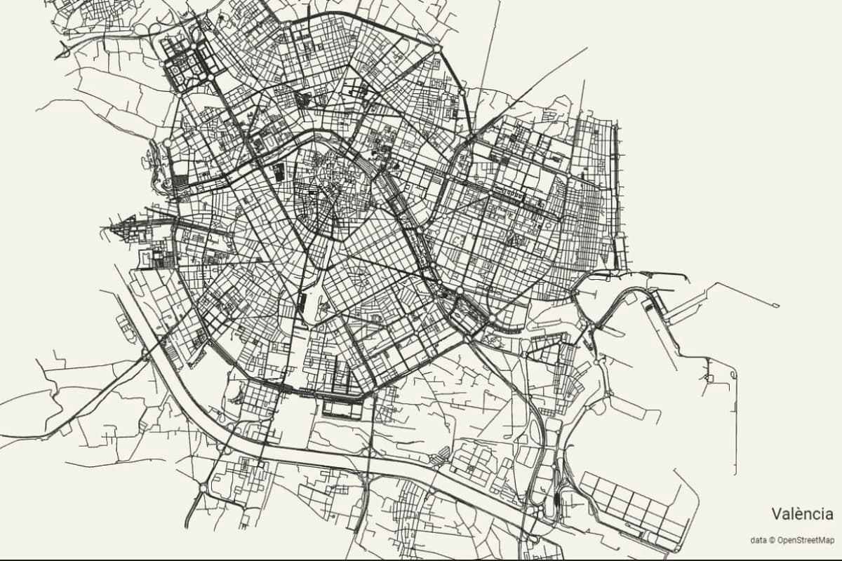
The goal of City Roads is simple; that we can create custom maps, 100% minimalist with just 3 clicks and with a very elegant visual! That simple!
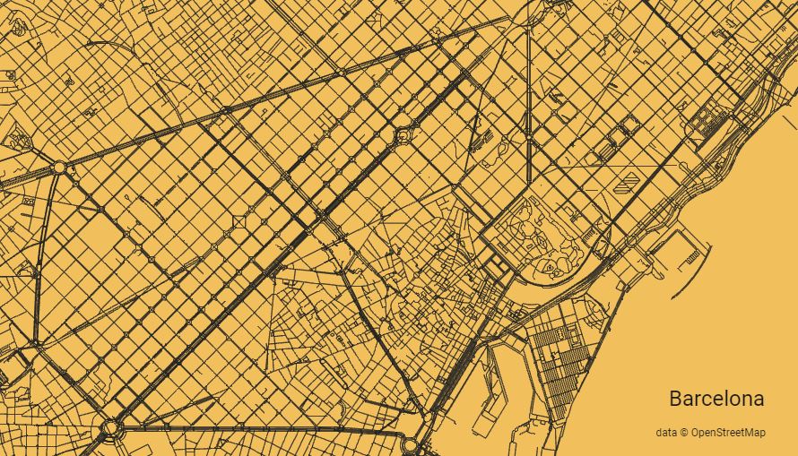
The project is carried out by the programmer Andrei Kashcha with data obtained from the collaborative map OpenStreetMap using the API (Rendered with WebGL). Remember the article on how to learn urban topography OpenStreetMap and Osmbuildings.
When we enter the tool, a box will appear where we enter the name of a city or region and the software, will automatically create a map in which we can exclusively identify the roads. The result, a clean map, without topographic elements, without street names, and, ultimately, a map that will be very useful for many projects.
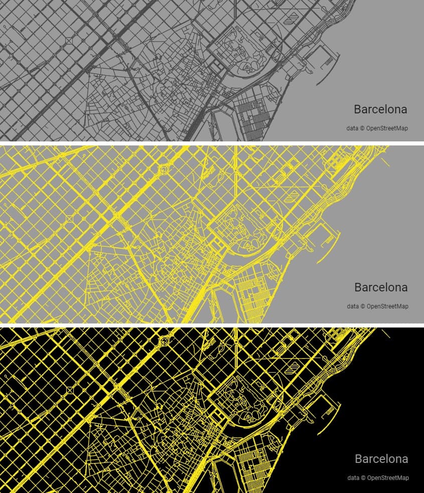
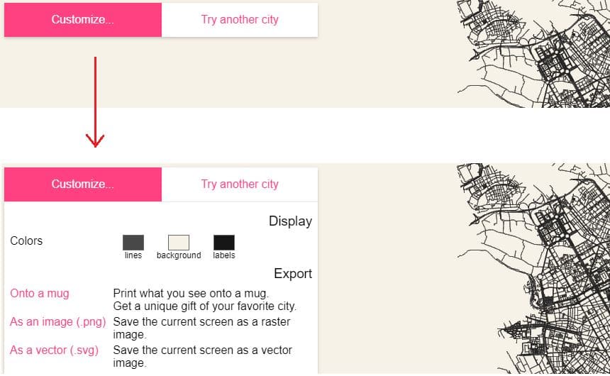
The result of the application is a simple three-color map that we can customize in a panel located at the upper left hand of the screen.
We have three ways to export the created map; the first sends us the map to print it on a mug, the second, we can download the map in PNG and the third, save the map in a vector image SVG which will certainly be very useful in some projects.
The programmer has uploaded all the application code on Github for all those interested in delving deeper or wanting to use it in more complex projects (The source code is under the MIT license)
Although at first glance it may seem that this mapping tool is not very useful, we can assure you that it is one of those Internet gems that you should keep on your desktop. We can access the tool to create simple maps from City Roads from HERE.
2.- Maps for architecture with Snazzymaps
The Snazzymaps application is a free online tool that allows you to customize and create cartographic styles on Google Maps maps! And it’s great for presenting projects!
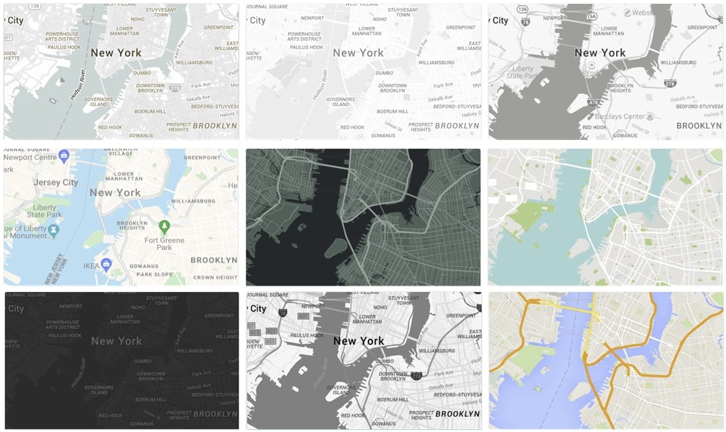
Some of the features we will find in the online application:
- Choose from a wide range of styles: It offers a library with hundreds of predefined styles that fit any architectural project or what you have in mind, organized by categories such as color, map type, etc.
- Create your own maps: You can create your own using the visual editor. You can modify colors, fonts, icons, markers, etc.
- Share your styles: Once you have created a design, you can share it with the Snazzymaps community or embed it on your website or blog.
- Integration with applications: It also offers an API that allows you to integrate your custom styles into your web or mobile applications.
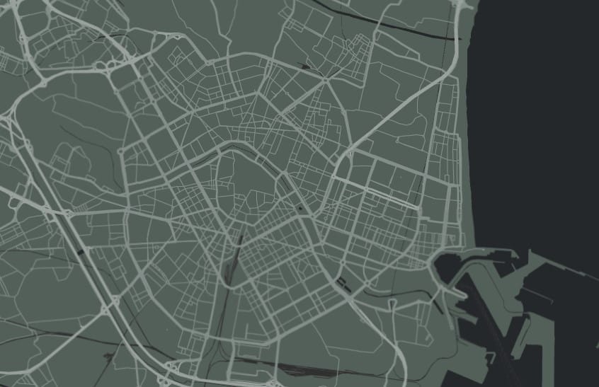
Directly and without fuss, it is one of the top free applications for mapping maps quickly and with hundreds of styles. You can access it from HERE and you don’t even need to register.
3.- Mapstyle Google
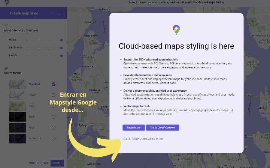
One of the easiest ways to customize urban mapping is with the Google Mapstyle tool. We have to enter from here and click on “Use the legacy JSON styling wizard”, as the following image:
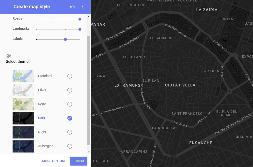
You will see that you can easily adjust on a Google map the density of the streets, their names, the markers that exist, change the design, etc. In the lower option of “More options” you have all the possible filters and more.
4.- Aino World
It is a platform designed for collaboration and analysis of urban data, especially focused on the work of urban mapping with artificial intelligence. It has a trial to test it out, it’s crazy! but a bit more complex to use.
We can enter the online application from Aino. A tool to create, customize and share maps, and it integrates with QGIS (a free and open-source Geographic Information System) to enhance geospatial data analysis.
5.- Maps with Maposaic
Another program to make street maps online is the Maposaic portal. Completely free and online you can customize any city in the world by adding the color you want. An example:
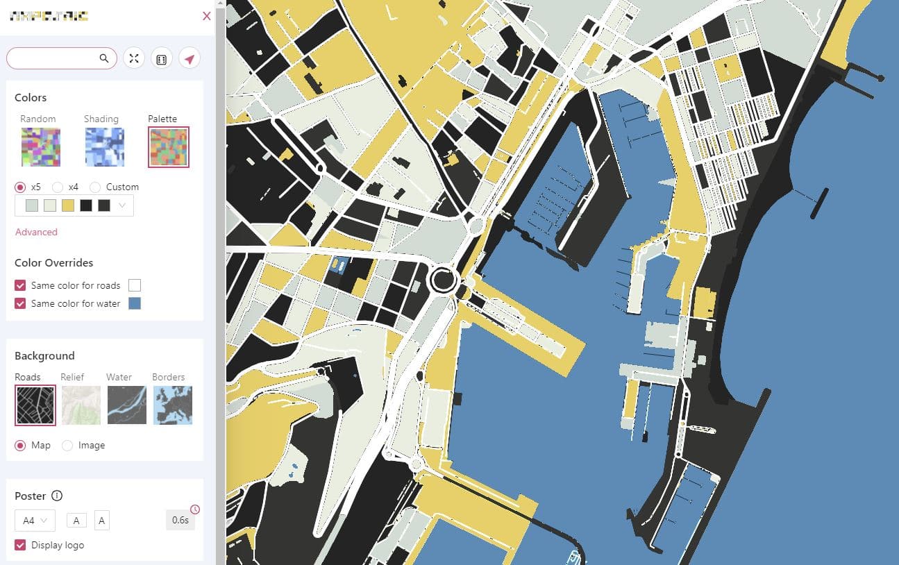
Although the definition may not be perfect, if you play with the colors you can get very attractive results and download the map in image format with a single click.
Two articles of interest about maps from this same portal:
6.- Peak Map
And not only does the programmer have this application to create clean maps. Across the web, there are many works by this cartography enthusiast with special attention to this map generator with contour lines over any part of the planet, it is the Peak Map
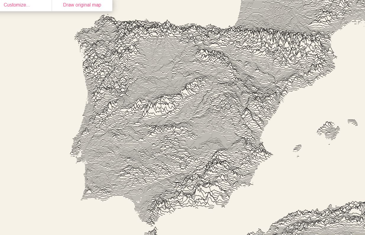
In both tools, the representation of a city is limited by the memory capacity of the browser and the video card. If we select an area that has millions of paths (for example, the state of Washington) it can cause the page to crash even on a powerful device, we mention it so you keep it in mind!
This programmer shows us again that sometimes simplifying a map over a region of the planet or a city, has its beauty and charm, apart from being useful of course!
7.- Mapping with Felt
A generator specialized in maps for architecture and urban planning is the Felt mapping tool. We can easily collaborate on any design, construction, or infrastructure project:
It has a powerful free version where we can work to add urban data layers to the map (zoning, bike lanes, etc.) to plan with the clearest image, you should try it!
And by the way, of interest is the article on parametric urbanism and architecture with examples of tools that will change the way we work.
8.- Maps for data Datawrapper
With the Datawrapper tool we can create all kinds of maps, but they are mainly to display data on a map and we can embed them on a website, which is interesting!
In fact, major digital newspapers use this tool, but in the free version, you can do many things. And an example, we have it in our article on which are the most expensive and cheapest cities in the world.
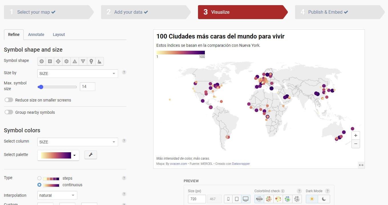
It is a good option for urban analysis both on a small and large scale. However, in our opinion, it is a bit complex to use at first. You can try it from HERE on the official Datawrapper page.
If you liked the article, share it!
