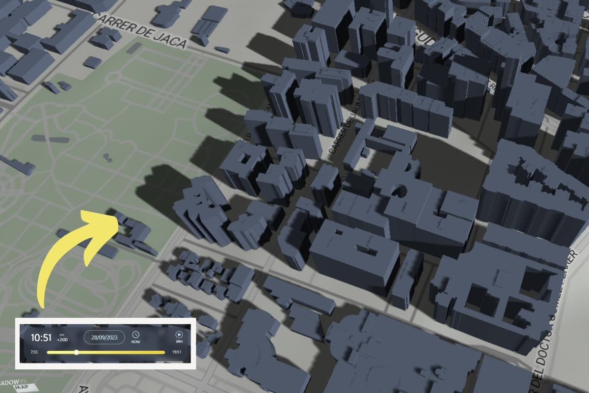
Sun shadow path on house or building
The other day we published an article about tools for solar analysis and the position of the sun from a technical perspective. They are very good, but you have to be familiar with the architecture and engineering sector to handle them, that’s the reality!
From there, one user asked us a simple question: Where can I see the sun’s path in relation to my house? Is there a shadow map available?
When in doubt, we have compiled five shadow map (sunlight simulator) tools that are very easy to use and with which we can see how the sun’s movement affects a home.
1.- The Shadow Map
The online tool Shadow Map shows us in a very simple way with a map the path of the sun over any building worldwide, without having to register and for free. An example…
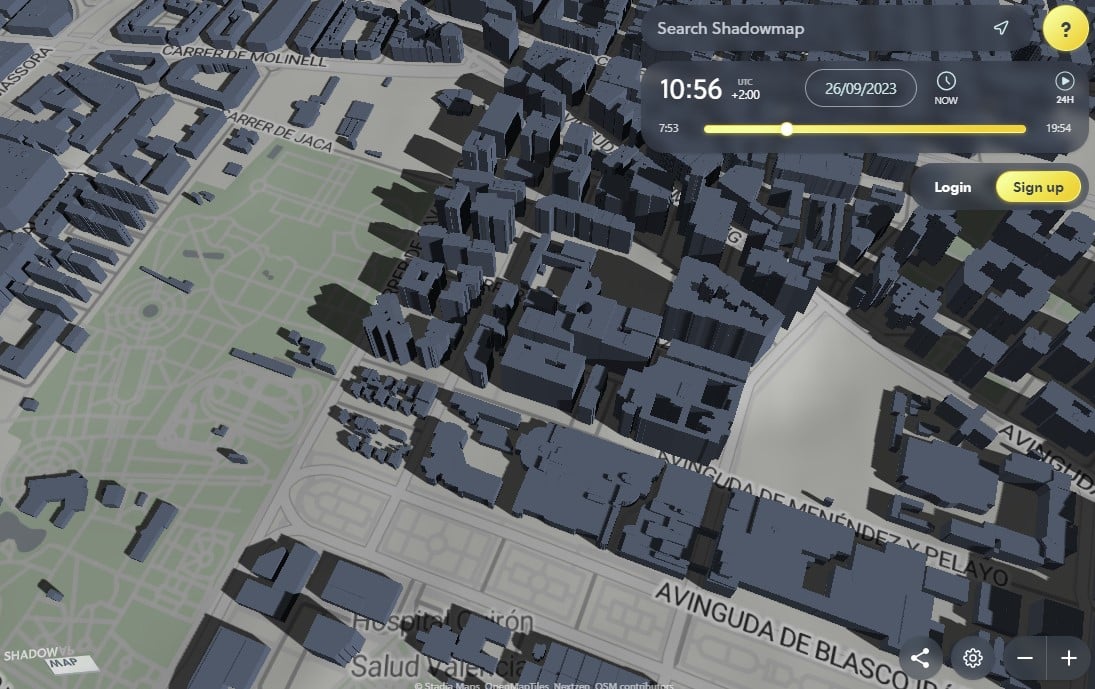
We just have to search for a specific place on the map and indicate the date to recognize the shadows cast by the sun on a house. Additionally, we can vary the shadows cast according to the time of day, it’s great!
The easiest tool to simulate solar shadows worldwide at any time of day
We can access the online map from HERE and start seeing shadows. If we sign up for the free plan, we’ll be able to see some additional features to the sun shadow map:
- 3D terrain worldwide: mountains, valleys, and coasts.
- 3D buildings worldwide: with high-quality data in selected cities.
- Time adjustment with minute precision to see the sun’s trajectory.
And if we adopt a paid plan, in addition to seeing the sun’s path, we already have access to satellite maps, higher quality visualizations, solar vector, etc. We find it an excellent software and very easy to use.
2.- Sun path with ShadeMap
This is another online application to see the sun’s path online, similar to the previous one although less visual, but we can include buildings and change the date throughout the year.

Be careful with the shadows of houses when the map is in 3D and with an inclination greater than 45º… the shadows disappear! We can access the ShadeMap tool from HERE.
3.- Sun path with Andrew Marsh
This tool for simulating sun and shade is part of a suite of applications created by Andrew Marsh, which we discuss in this article on solar analysis… they’re really good!.
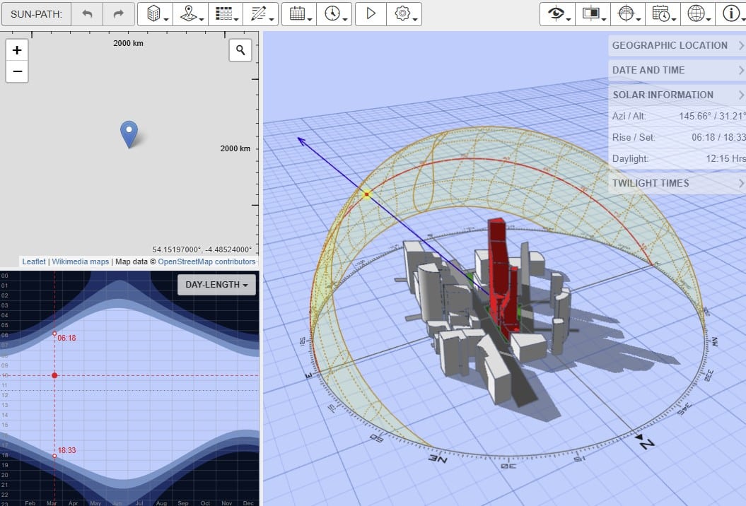
You can access the online application to see the sun’s trajectory directly HERE.
4.- Sunearthtools Calculator tool
This online application to see the sun path over my house uses a unique map-based approach: users draw a contour and set its height to calculate shadows for any given date and time. An example

Here we can only see the position and cast shadow or its length, we will not observe how it affects the house or building. It can be a useful tool in certain cases, for example, if we want to buy a plot next to a chalet… How will the shadows of neighboring houses affect us?
We can enter Sunearthtools from HERE. We still have another online application to see the solar path on a map – Google Earth!
5.- The SunOnTrack App
This is the most powerful shadow map and solar tracking app on the market that you can use on your iOS or Android mobile device. Unfortunately, it is a paid app, but its quality and reviews make it worthy of mention in this article.
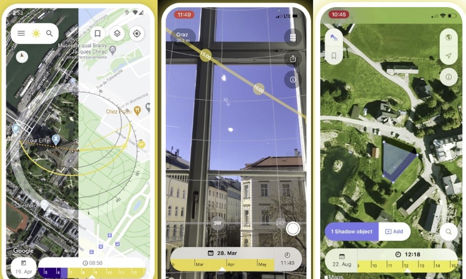
It uses Augmented Reality (AR) to overlay the sun’s path onto the live camera view from your device. You can visit the official SunOnTrack website HERE.
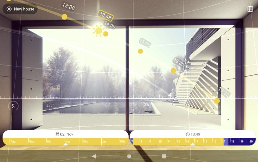
The app is useful for:
- Real Estate: Checking solar exposure of properties.
- Photovoltaics: Optimizing solar panel placement.
- Photography: Planning photo sessions with ideal lighting.
- Gardening/Landscape Design: Simulating shadows to plan gardens or other outdoor elements.
It’s not a free shadow map app, but if you work professionally in any of these fields, you should definitely give it a try!
6.- Google Earth Pro
Google Earth’s software is free, and although there is an online version, we are interested in the Pro version, which has also been free for some time and is downloaded to the computer. We just have to enter the official page from HERE (bottom of the screen) and download it.
When we have Google Earth on the computer, we can do many things, among them, we can see how sunlight affects a building. An example…

Note: By activating the sun, you will have the default shadow, plus the shadow cast by the sun according to the time of day. It’s a bit chaotic to see an online shadow map.
We can also create animations and see how light directly affects the facade of a building, if we stand at street level, although it is a bit disappointing.
The desktop version has multiple options, even looking at the inclination of a terrain, something like what we did in the article about how to analyze a plot to buy a house.
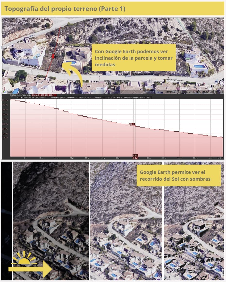
It’s true that its definition is not so realistic when we zoom in a lot on the map, but enough to see the shadows on the buildings.
With all these tools, you can now check if a house gets sunlight. By the way, we have an article about how to create a personalized and minimalist map that is useful on many occasions.
If you liked the article, share it!
